Underwater Programming Laboratories


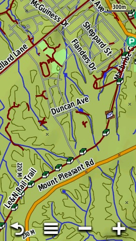
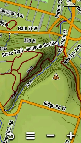
OSM trails are trail map overlays to see trails on top of maps that do not have trails, or do not have trails in areas you are interested in. They are extracted from data provided by OpenStreetMap.
These maps are provided "as is". Please consult the Map Terms for more information.

Map Installation

  1. After downloading the map, open the ZIP file and you will find a file with the name of the region that will end with ".img". This is the file you will copy to your GPS or SD card, not the file ending with ".zip"
  2. Connect your GPS to your computer, insert the SD card from your GPS into your computer if you can, or insert the SD card into an SD card reader, and then connect the SD card reader to your computer.
  3. Open Windows Explorer and select your GPS or the SD card.
  4. Open the folder with the name Garmin.
  5. Copy the file with the ".img" at the end that was in the ZIP file from your computer to the Garmin folder on your GPS or SD card.
  6. Disconnect your GPS or remove the SD from your computer or SD card reader and insert the SD card into your GPS.
  7. Power on your GPS.
  8. If the map is not visible or the trails are not visible, check your map setting to make sure the map is enabled.

Home Page - Photography - Yukon Striker - Tracking - Hurling Machines - Geocaching - Maps - Legal Stuff
Web Page Design by Underwater Programming Laboratories © 1997 -
kwatson@underwaterlabs.com